BioBase EcoSound for Sonar
You can’t protect and manage water, habitats and fisheries without good data.
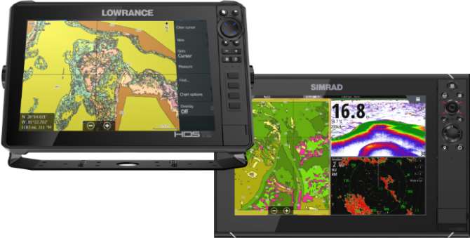
BioBase is the premier cloud solution for the automated processing, mapping and storing of spatial aquatic data. We automate the generation of maps and GIS Data from off-the-shelf Lowrance and Simrad sonar (EcoSound) and special order satellite imagery (EcoSat). You spend your time researching and managing fisheries, not making maps.
EcoSound subscriptions are free up to 20 GB of storage for up to 5 users for any government agency, non-profit, or university in the field of water or fisheries.
Learn more at www.biobasemaps.com
Description
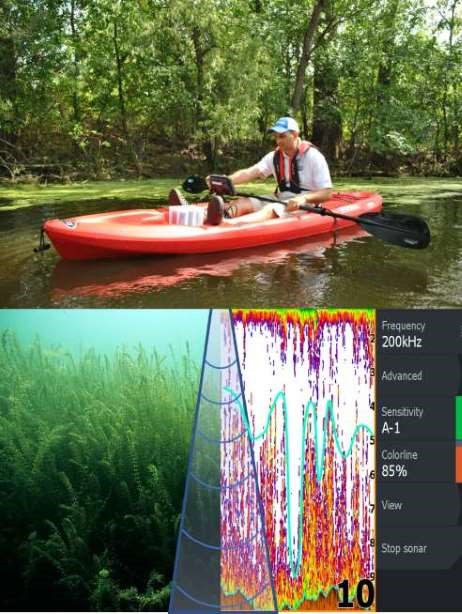
Create high quality maps and GIS datasets of depth, aquatic vegetation abundance (canopy height and biovolume), and bottom hardness by uploading off-the-shelf Lowrance Sonar logs to a private cloud account at www.biobasemaps.com (EcoSound Product).
EcoSound processes the downlooking sonar and creates outputs using geostatistical interpolation. All outputs are paired and synced with sonar log imagery so you can verify and edit data as needed. You can access your maps along with a number of analytical tools all through your internet browser (no need to install desktop software).
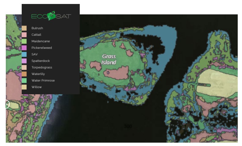
EcoSat is a product that processes very high resolution satellite imagery from commercial providers or free Sentinel imagery and creates maps in shallow coastal waters or wetlands (EcoSat Product). Accounts can be linked to multiple individuals within an organization so sharing is easy. Automated statistical reports are a part of premium subscriptions for both EcoSound and EcoSat.
EcoSound subscriptions are free up to 20 GB of storage for up to 5 users for any government agency, non-profit, or university in the field of water or fisheries. Learn more at www.biobasemaps.com
Contact Information
Ray Valley
Email: ray.valley@navico.com
Phone: 651-204-0640
You must be logged in to post a review.


Reviews
There are no reviews yet.